Learning how to get around Portland is a key concern for anyone moving to Portland or relocating to Portland. With an extensive public transportation network, bike-friendly streets, and major roadways connecting different parts of the city, newcomers will find that Portland transportation offers several options for navigating the city efficiently. Understanding the layout of the city, the best commuting methods, and current transit updates is essential for settling in and making daily travel easy and stress-free.
Understanding Portland’s Layout
Portland is divided into five main sections: Northwest, Southwest, North, Northeast, and Southeast. The Willamette River runs north to south, splitting the city into east and west, while Burnside Street acts as the dividing line between north and south. These divisions make it simple for newcomers to navigate, as most street names in Portland include directional prefixes such as N, NE, SE, NW, or SW.
Neighborhoods such as The Pearl District, Hawthorne, and Sellwood-Moreland offer distinct characteristics that appeal to different lifestyles. Those who prefer a more urban setting might consider living downtown or in the Northwest District, where public transit and walkability make it easy to get around Portland without a car. Alternatively, suburban neighborhoods like Beaverton and Lake Oswego provide a quieter lifestyle while still offering access to efficient Portland transportation networks.
Public Transportation in Portland
For newcomers who want to get around Portland without a car, the TriMet system is a major asset. TriMet operates the MAX Light Rail, bus services, and the Portland Streetcar, making it possible to travel efficiently across the city and surrounding suburbs. The MAX Light Rail system features five lines: Blue, Red, Green, Yellow, and Orange, each connecting different parts of Portland with frequent service. The Red Line is particularly beneficial for those traveling to and from Portland International Airport (PDX), while the Orange Line provides easy access between downtown Portland and the city of Milwaukie.
Portland also has a comprehensive bus system, with nearly 80 routes serving the metro area. The TriMet bus system is equipped with real-time tracking and mobile ticketing, allowing passengers to plan trips efficiently. The Portland Streetcar is another popular option, covering key districts such as the Pearl District, the South Waterfront, and the Central Eastside.
For those commuting between Portland and Vancouver, Washington, the C-TRAN Express service offers reliable transportation, connecting downtown Portland to major hubs in Vancouver. With frequent service and affordable fares, public transportation remains one of the best ways to get around Portland, especially for newcomers adjusting to city life.
Driving in Portland
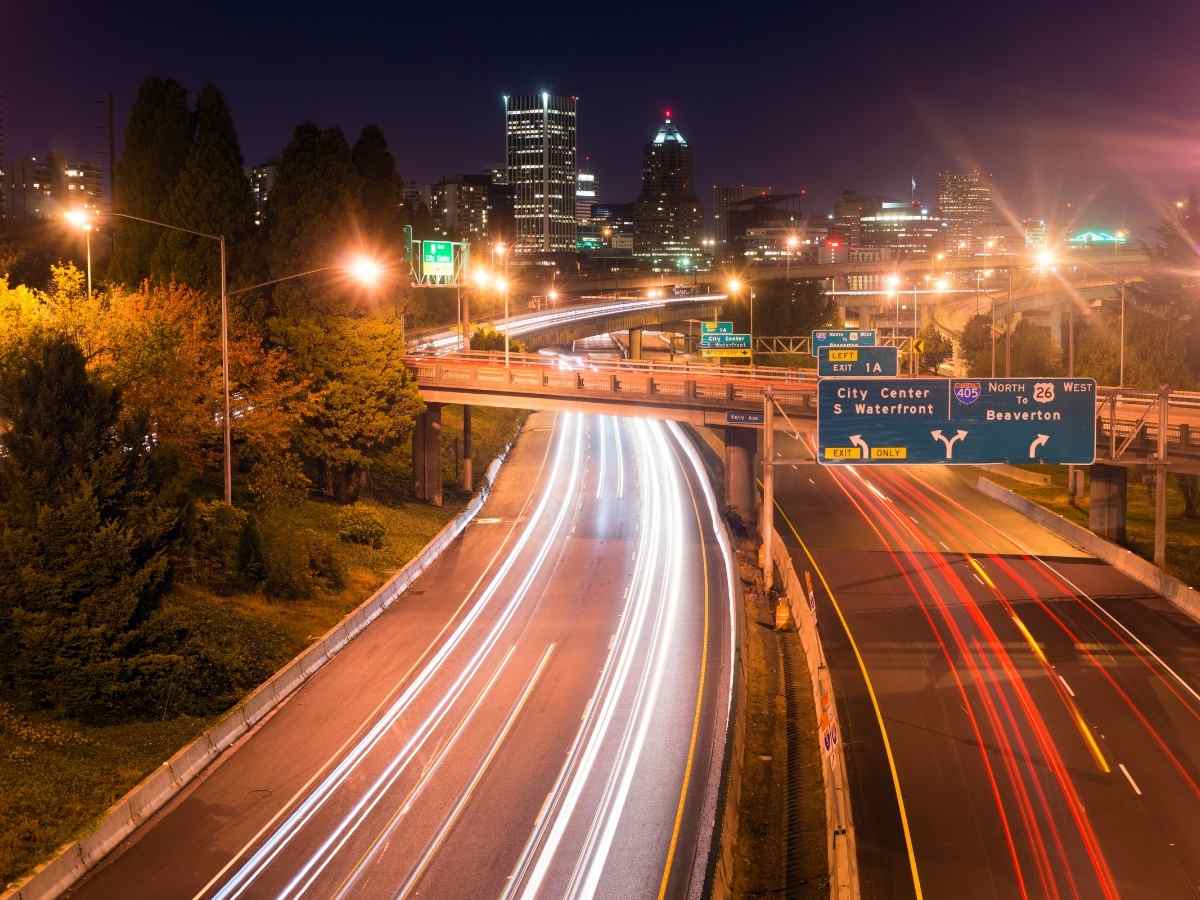
While public transit is an excellent option, many people moving to Portland or relocating to Portland choose to drive. Portland is connected by three major interstate highways: I-5, I-84, and I-205. I-5 runs north-south, linking Portland to Seattle in the north and Salem in the south. I-84 heads east, providing access to Gresham, Troutdale, and the Columbia River Gorge. I-205 serves as a bypass around downtown Portland, offering an alternative route for those who want to avoid heavy traffic congestion.
Portland is also known as “Bridge City,” with 12 bridges spanning the Willamette River to connect different parts of town. Some of the most frequently used bridges include the Burnside Bridge, Morrison Bridge, and Hawthorne Bridge. The Tilikum Crossing bridge is unique in that it is exclusively for pedestrians, cyclists, and public transit vehicles, promoting environmentally friendly transportation in the city.
Biking and Walking in Portland
For those who prefer to get around Portland without a car, the city is consistently ranked as one of the most bike-friendly places in the country. With hundreds of miles of dedicated bike lanes and the Portland Bureau of Transportation’s (PBOT) continued investment in cycling infrastructure, biking is a reliable mode of transportation.
The Hawthorne Bridge and Broadway Bridge have dedicated bike lanes, allowing cyclists to safely cross the Willamette River. The Eastbank Esplanade and Springwater Corridor Trail provide scenic routes for those who want to commute or explore by bike. Additionally, the BIKETOWN bike-share program, operated by Lyft, offers an affordable and accessible way for newcomers to travel by bike without needing to own one.
Pedestrian-friendly neighborhoods like the Pearl District, Alberta Arts District, and Division Street make it easy for residents to get around on foot. Many of Portland’s neighborhoods have a high walkability score, with local businesses, parks, and transit options within short distances.
Ride-Sharing and Car-Sharing Services
For newcomers who don’t own a car but occasionally need one, Portland has several car-sharing and ride-sharing services. Uber and Lyft are widely available throughout the metro area, providing convenient and quick options for those needing transportation. Additionally, Zipcar and Getaround allow people to rent vehicles for short periods, making them a cost-effective option for occasional drivers.
Portland also offers electric scooter rentals, including Lime and Bird, which are popular for short trips around downtown and the inner city neighborhoods. These scooters are a fun and convenient way to get around Portland while avoiding traffic and parking hassles.
Traveling to and from Portland International Airport (PDX)
For those traveling in and out of Portland, Portland International Airport (PDX) is the primary gateway. PDX is consistently ranked as one of the best airports in the United States, offering a smooth and convenient travel experience. The MAX Red Line provides direct service from downtown Portland to the airport, making it one of the easiest ways for newcomers to reach their flights without the need for a car.
For those who prefer to drive, the airport is accessible via I-205, with multiple parking options available, including short-term and long-term parking. Additionally, shuttle services and airport taxis provide reliable options for those needing transportation to and from PDX.
Final Thoughts on Portland Transportation
For anyone moving to Portland or relocating to Portland, understanding Portland transportation is essential. Whether choosing to commute via MAX Light Rail, bus, bike, car, or foot, newcomers will find that getting around Portland is manageable with the right planning. With a focus on sustainability, walkability, and public transit accessibility, Portland provides multiple ways to navigate the city efficiently. By exploring the various transportation options and learning the best routes, residents can make their transition to the Rose City smoother and more enjoyable.
Request your free Portland Relocation Guide here


